About Us
The High Weald Area of Outstanding Natural Beauty is a nationally important, much-loved, and precious part of the English countryside.
For 30 years, fifteen local authorities – through the High Weald Joint Advisory Committee (JAC) – have worked together to care for the area: conserving and enhancing the High Weald and furthering public understanding and enjoyment of it.
The High Weald AONB Team is a small, independent, specialist team working day-to-day on behalf of the JAC, Defra and Natural England. Together, these bodies form the High Weald AONB Partnership.
Our work
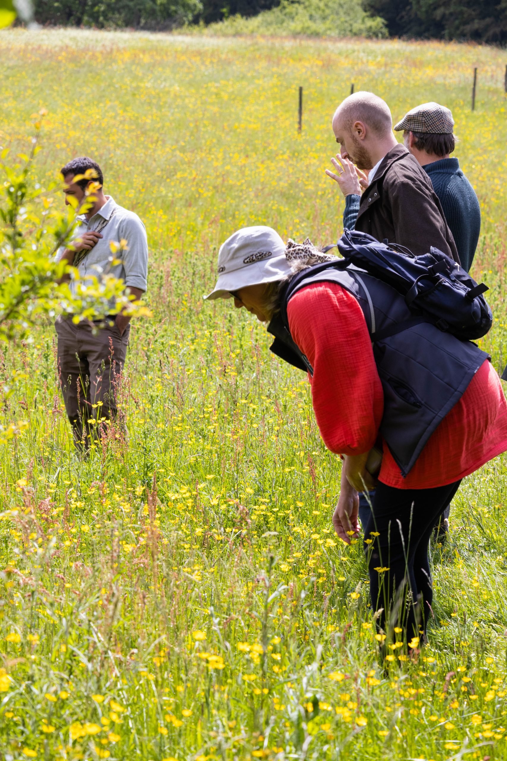
The High Weald AONB Partnership has an excellent track record. We provide expert, landscape-led advice to local authorities, farmers and land managers, and co-ordinate landscape-scale work across the area.
We also work closely with public and private sector partners to develop innovative collaborative projects. From the Sussex Lund grant scheme to our High Weald Heroes primary school education programme, our work delivers tangible results for the High Weald’s ecology – and helps residents and visitors connect to the landscape.
We produce the statutory AONB Management Plan every five years on behalf of Local Authority members, and routinely seek out and secure significant levels of external funding for delivery of the Plan.

In an average year, we:
- Provide landscape-led advice to over 70 organisations and partnerships (nationally and locally)
- Undertake more than 170 advisory visits with land managers, with over 50% seeking follow-up support
- Respond to 300 policy and development-relate consultations
- Produce new High Weald-specific guidance documents, for example our new Routeways guidance or the High Weald Design Guide.
- Work with 25 primary schools, delivering 80 events with 2,300 pupils
- Run a series of land manager training events with over 250 attendees
- Lead on the annual High Weald Walking Festival, a collaborative project with local Rambler groups
- Award a range of grants and additional funding to achieve landscape, nature recovery and climate change objectives – in 2022/23 this totalled more than £650,000.
Contact our office
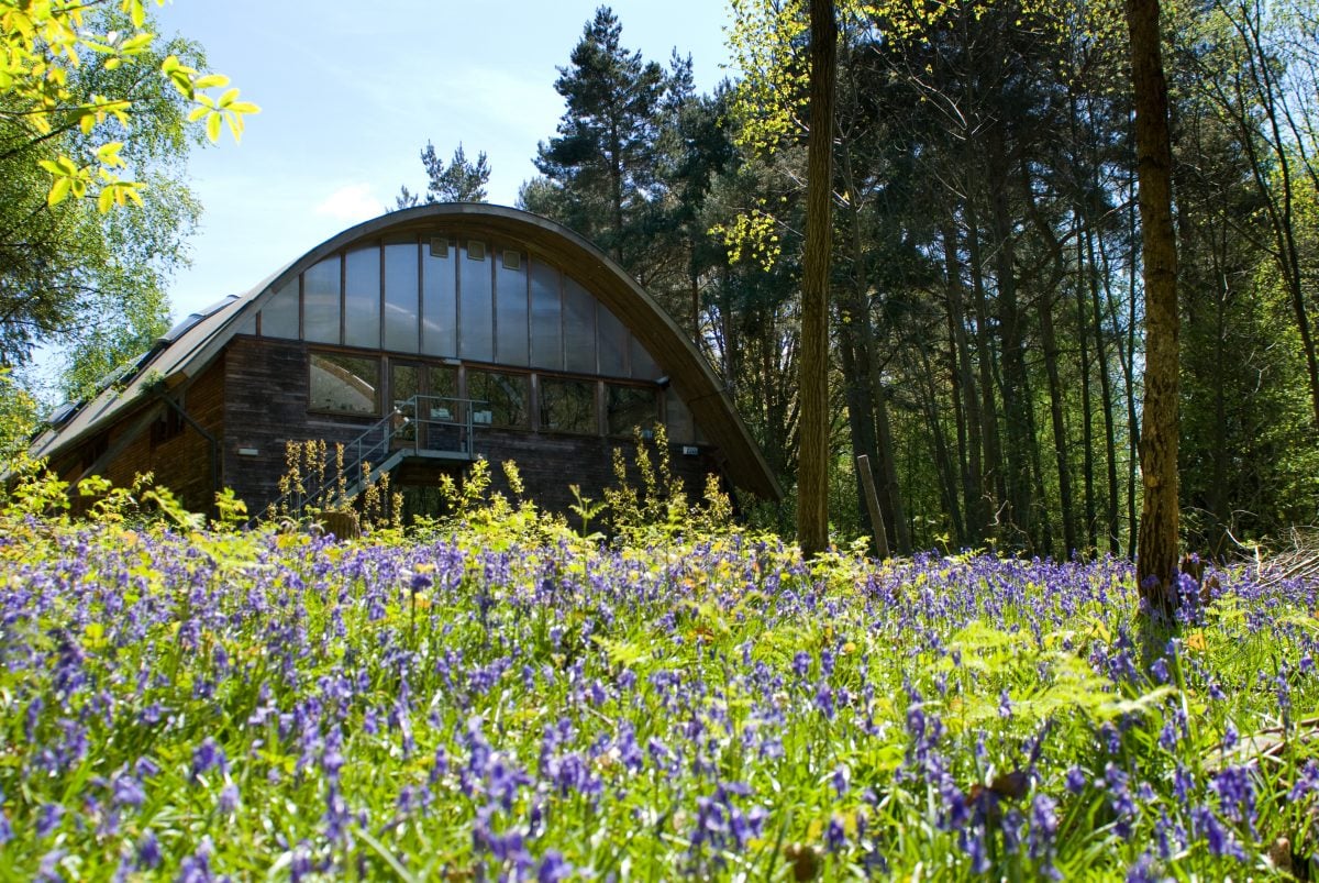
High Weald AONB Team
Woodland Enterprise Centre, Hastings Road, Flimwell, East Sussex, TN5 7PR
Tel: 01424 723011
Email: info@highweald.org
If you are contacting us for a particular issue such as planning or land management advice, please visit our team page to find out who to email or phone directly.
Getting here:
Flimwell doesn’t have a railway station. Stations close by are Stonegate (8.5km), Etchingham (7.5km) or Wadhurst (11km), all on the Hastings-London line from Charing Cross. Taxis will need to be pre-booked (Ticehurst cabs 01580 200180).
If you have a prearranged visit or meeting, contact the team beforehand and we can arrange to pick you up.
By car:
From the A21, turn off at the large ‘Tate Fencing’ sign (there are also currently signs for Ticehurst Vaccination Centre). Follow the track down and take the right-hand fork. At the end of the track turn right and continue 50 metres; the Woodland Enterprise Centre will be on your left.